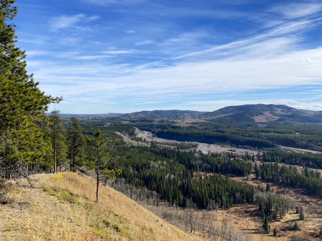
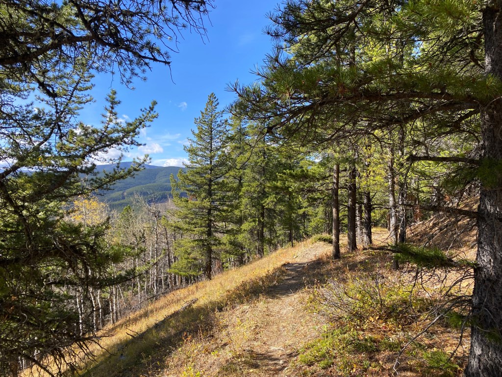
The Fullerton Loop hiking trail is a popular spot off of Highway 66 just 12 minutes from Bragg Creek, Alberta. This loop in the foothills features moderate elevation, views of Elbow Valley, and the Rocky Mountains along the western horizon. We hiked this trail in mid-October, right before the first snow that hit Calgary.

Fullerton Loop Hike Summary
- Difficulty: Easy
- Distance: 6.8 km
- Elevation: 213 metres
- Trail type: Loop
- Time: 1-2 hours
- Trailhead: Allen Bill Day Use
Getting to Fullerton Loop
Fullerton Loop is a popular trail because of it is easy and close to Calgary. Only 40 minutes from the city, the hike makes a great half-day trip. This is a good way to get out in the mountains without the commitment of spending an entire day away from home. This was especially appealing for me, as I worked on Saturday and we hiked on Sunday, my only day off that weekend.

Fullerton Loop trail now begins at Allen Bill Day Use parking lot. The hike was rerouted due to flooding, so if it’s been awhile since you’ve done the trail make sure to park here. We arrived around noon on a Sunday and the parking lot was busy, but not full.
We brought our dog and as always kept him on leash for the entirety of the hike. It is mandatory to leash your dog in any Alberta Provincial Park, and you can check the Alberta Parks website for more information on the regulations for pets in the parks.

Starting the Hike
From the Allen Bill Day Use lot, take the 1.2 km access trail to Fullerton Loop. This trail covers a flat, forested distance and is shared with other hiking, biking, and cross country ski trails in this area. While Fullerton Loop is restricted to hikers, keep in mind that the access trail is also used by mountain bikers, so stay aware and give way if you see bikers on the path.

Choosing a Direction
Once you arrive at the clearly marked fork after the bridge, take a left and continue up the hill towards Fullerton Loop for a short 300 metres. While the 4 km loop can be done in either direction, I would recommend going counter-clockwise. Follow the path over the small bridge, not up the stairs. From there, follow the trail as it slowly ascends the side of the hill. It will circle back down across another bridge before ascending the neighbouring ridge and the first lookout point of the trail.
We chose to eat lunch at this point on the trail, looking out over the valley below. If you hike the trail in a counter-clockwise direction, you save the views for the second half of the trail. You will get a nice view of Elbow River as you descend the steepest part of the trail. You also have a more gradual incline in the counter-clockwise direction.

How long is the hike?
Overall, this 6.8 km trail is short and sweet, and took us a total of about 2 hours with a leisurely pace and lunch break at the halfway mark. It has a total of 213 metres of elevation, with very nice views in the foothills region. You could easily do the trail faster if you enjoy hiking quickly, but it is nice to take in the views as well.
Check out the maps or buy your Kananaskis Pass at the Alberta Parks website before your next hike at Fullerton Loop.