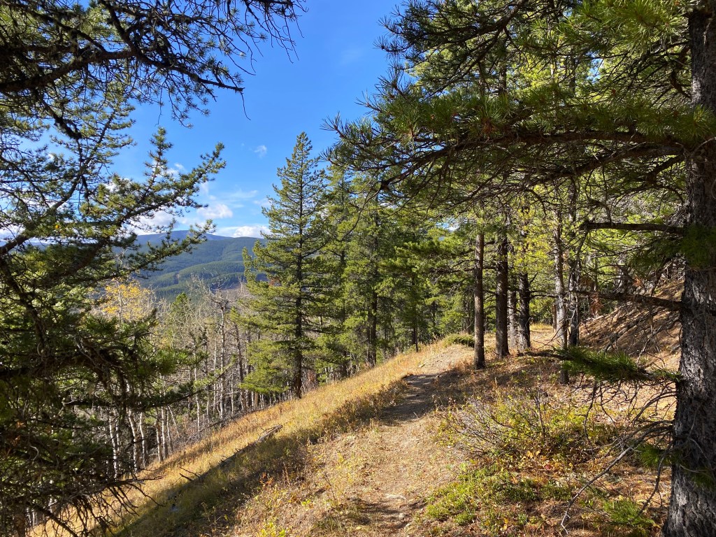
Shoulder season refers to the time in the spring or fall seasons when the weather has not stabilized between winter and summer and outdoor activities fall somewhere in the middle. For example, there is not enough snow on the mountains to ski, but it’s too cold to go for a paddle. Many hikes, however, offer a great way to get outside during this in between stage.
These are some of my favourite hikes that are doable during the shoulder season. Generally, these hikes have less elevation and easier terrain than summer hikes, but are pleasant even without snow cover. I’ve included hikes from the Bow Valley, Kananaskis, and nearby parks.
What’s in this guide?
- Preparing for a shoulder season hike
- Easy hikes under 7 km with less than 250 metres of elevation gain
- Moderate hikes under 15 km with less than 500 metres of elevation gain
- Moderate-difficult hikes under 18 km with less than 700 metres of elevation gain

Preparing for a Shoulder Season Hike
Many roads in Kananaskis close from December 1 until April 30-May 14, with the exception of Highwood Pass on Highway 40 which reopens June 20. If you’re planning hikes after December 1, please refer to my winter hike guides.
I also recommend that you bring hiking poles and mircospikes while hiking in shoulder season. Trails may be icy or muddy, and the conditions in the mountains are often different from the weather in the cities. Microspikes are incredibly helpful for staying surefooted on ice and snow, and I consider them a must-have if you plan to hike through the winter as well. You can rent them from the University of Calgary’s Outdoor Centre if you only need them occasionally.
Easy Shoulder Season Hikes
Hikes under 7 km with less than 250 metres of elevation gain.

Banded Peak via Alder Trail
Banded Peak via Alder Trail is an easy hike in Bragg Creek Provincial Park. This trail is 3.7 km round trip, with about 115 metres of elevation and is hiked as an out-and-back trail with the option to complete Alder Trail loop at the end.
This hike takes around 45 minutes to an hour and takes you through foothills landscape and forest very close to the town of Bragg Creek. The trail is dog-friendly and appropriate for families with young children, although bear spray is still recommended due to wildlife the frequent the area.
When to Hike Alder Trail
Alder Trail can be hiked year-round. It is easily accessible from the hamlet of Bragg Creek.

Grotto Canyon Trail
Grotto Canyon, also called Grotto Creek Canyon trail is a 4.4 km hike with 115 metres of elevation. The hike is in Bow Valley, off Highway 1A (Bow Valley Trail) between Exshaw and Canmore.
Grotto Canyon is known for its pictographs as well as the scenic waterfall at the end of the canyon trail. I recommend bringing microspikes on this hike, even though there is not too much elevation.
When to Hike Grotto Canyon
Grotto Canyon can be hiked year-round. Check recent trail reports for current conditions.

Paddy’s Flat Interpretive Trail and Riverview Trail
Paddy’s Flat is a campground area with a few trails in the area, off Highway 66. The campground is closed after summer, but you can still hike around the interpretive trail area. The interpretive trail is 2.2 km round trip.
If you’re looking for a longer excursion, I recommend following the Riverview trail which continues west for the interpretive trail for a 6.4 km hike (out-and-back) with 176 metres of elevation gain.
When to Hike Paddy’s Flat Interpretive Trail or Riverview Trail
Paddy’s Flat can be hiked year-round and the area is even popular for snowshoeing in the winter. However, the campground (and therefore access to the day use parking area) is closed during the winter months. You may need to park along the road and walk to the trailhead. Check the Alberta Parks website for up-to-date information about closures.

Heart Creek Bunker
Heart Creek is found off Highway 1 near Lac des Arcs. It includes a few hiking options. The shorter Heart Creek Interpretive trail is 2.6 km out-and-back trail that crosses over 7 bridges and leads to a hidden waterfall.
The slightly longer Heart Creek Bunker trail is 4 km round trip, with 223 metres of elevation gain and arrives at a cold war-era bunker. You can enter and explore the bunker, but make sure to bring a bright flashlight as it gets dark quickly and the tunnel is quite deep.
When to Hike to Heart Creek Bunker
Heart Creek Bunker is accessible year-round, although the area can get very busy in the summer months. I hiked this trail during shoulder season, on Halloween in 2021.
Fullerton Loop
Fullerton Loop is a pleasant, easy trail just 12 minutes past Bragg Creek on Highway 66. It is a popular spot for hikers looking for a short loop and the area is also used by mountain bikers (though not on Fullerton Loop specifically).
Fullerton Loop is 6.8 km round trip with 213 metres of elevation gain. It can be hiked in either direction, but I recommend counter-clockwise, because the elevation gain is more gradual in this direction.
When to Hike Fullerton Loop
Fullerton Loop is accessible year-round, as it is located at Allen Bill Day Use area, before the winter gates on Highway 66. However, you may need spikes and poles in the winter months. I enjoy hiking Fullerton Loop in the fall as it is a nice, short hike during shorter daylight hours. It also offers a nice early season hike in the spring, while other trails are still melting.
Moderate Shoulder Season Hikes
Moderate hikes are under 15 km with less than 500 metres of elevation gain.

Vents Ridge (White Buddha)
Vents Ridge is a 6 km loop with 330 metres of elevation gain. It is found off Highway 66, just after the Elbow Falls parking lot. Vents Ridge follows Powderface Creek trail for about 20 minutes, before climbing Vents Ridge.
From the top of the ridge, you climb down White Buddha Alternate Trail until you reach Prairie Creek Trail. Prairie Creek trail will lead you back to the parking lot area. Bring spikes in case there is snow and ice on the trail.
When to Hike Vents Ridge
The Vents Ridge trail starts from Powderface Creek Trail Parking lot, which is located after the winter gates on Highway 66. It is best hiked from May to November.

Chester Lake
Chester Lake is a popular, year-round hike and its not hard to see why. This is a 9.3 km hike with 300 metres of elevation gain that treks through a forest and meadow before arriving at a stunning lake. In the fall, you may be able to catch larch trees in the golden glory, and in the winter or spring you can visit the frozen lake.
When to Hike Chester Lake
Chester Lake can be hiked any time of year, except the seasonal closure from May 1 to June 29. This allows the trail time to dry out before it becomes heavily trafficked in the summer, preventing erosion. My personal favourite time to hike Chester Lake is late-September to early-October.

Edworthy Falls via Elbow Lake
Edworthy Falls is somewhat lesser known continuation past Elbow Lake, a more popular spot and backcountry campground in Peter Lougheed Kananaskis. The hike is a 9.7 km out-and-back trail with 383 metres of elevation gain.
The trail passes Elbow Lake (a viewpoint in its own right) and continues on to a lovely waterfall with a stunning blue swimming hole below (although I don’t recommend swimming at all during shoulder season!).
When to Hike Edworthy Falls
Elbow Lake is off the Highwood Pass section of Highway 40, meaning it is closed from December to June, so hike this one before the end of November! Otherwise, it can be completed during the summer.

Nihahi Creek Trail
Nihahi Creek trail is a favourite of mine. It is 15 kilometres round trip, but most of the distance occurs on flat ground, making it go by quickly. The route follows Little Elbow Trail from the Little Elbow Campground (park in the Day Use lot), until the Nihahi Creek turn off.
The total elevation gain for Nihahi Creek is 463 metres. This is a moderate level hike and is accessible until the winter gates close on December 1.
When to Hike Nihahi Creek Trail
You can hike Nihahi Creek Trail from mid-May until the end of November. Alberta Parks closes the winter gate on Highway 66 just after Elbow Falls from December 1 to May 14, so the hike is not accessible during that time.
Moderate-Difficult Shoulder Season Hikes
These moderate-difficult hikes are under 18 km with less than 700 metres of elevation gain.

Prairie Mountain
Prairie Mountain is a 8.4 km out-and-back trail in Elbow Valley with 675 metres of elevation gain. This hike is a popular all season trail due to its proximity to both Calgary and Bragg Creek. The trail leads to the summit of Prairie Mountain, where you get views of Moose Mountain, Vents Ridge, and Nihahi Ridge in the distance. This is a great early season hike, as its lower elevation means its dry and snow-free before most summits in Kananaskis.
When to Hike Prairie Mountain
Prairie Mountain can be hiked year-round, but I like this as an early season “warm-up” before many of the other more difficult hikes open for the summer season. I completed this hike recently in early May and the conditions were similar to summer, with dry trails and lots of other hikers.

Burstall Pass
Burstall Pass is a 16.3 km trail with 654 metres of elevation, and the most difficult trail on this list. It is absolutely manageable though, especially with spikes and poles in the winter.
Burstall Pass has two long flat sections. The first section is 4.5 km of mostly flat terrain. Bring a map or download a GPS version, because there are many trails, especially at the very beginning and it is easy to get lost. There are two uphill sections, the first is 1 km long with 150 metres of elevation gain and the other is about 1.5 km with 230 metres of elevation gain. The rest of the elevation is gain more gradually.
When to Hike Burstall Pass
Burstall Pass is accessible year-round; however there is often deep snow around the pass. For true hiking conditions (not snowshoeing), this trail is best if completed from mid-to-late May to mid-October. Keep an eye on trail reports for the current conditions.